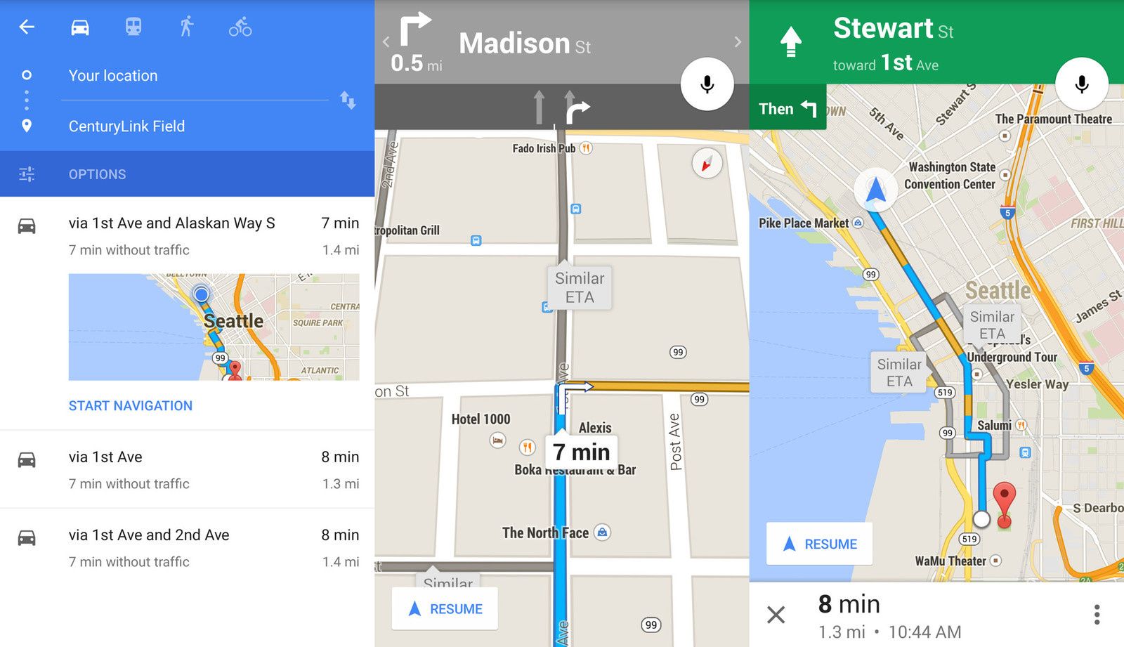
Google has two distinctly different apps — Maps and Earth — that can handle similar tasks but are used in very different ways.
Whereas on the desktop you can quickly switch between the informative Maps interface and detailed full-blown satellite Earth view, the experience is a bit choppier when you're juggling Maps and Earth apps on Android.
Google Maps contains all of the navigation, lightweight mapping power and points of interest with just a small hint of satellite imagery, while Google Earth has complete 3D satellite data and just a small subset of information on places, without any point-to-point navigation.
In the end there are pretty clear roles for when to use each one — let us explain.


/image%2F0792643%2F20140328%2Fob_edaaf7_image-farandole.png)